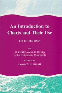
(Out of Print) - An Introduction to Charts and Their Use
- Price:
- £0.00
Item attributes
- ISBN:
- 978-0-85174-619-7
- Published date:
- First published 1944-5th edition 1995
Item details
Out of Print
Also consider: Pracical Navigation
This book gives, in a concise form, a comprehensive description of the modern navigational chart and illustrates by a series of practical exercises, the principal ways in which a chart is used. It is written by two professional cartographers with long experience of chart production. The language is clear and seaman-like, mathematics has been avoided, and all technical expressions are explained as they occur. Chart symbols in all their variety are described in a systematic manner and the most up-to-date Admiralty practice is given. Latitude and Longitude Scales, Graduations, Soundings and Tides are explained in simple terms. Particular attention is given to Magnetic Variation and to the problems arising from Deviation of the Compass.
Bearings, Azimuths, Great Circles and Rhumb Lines, with the Chart Projections involved, are treated from first principals in a way designed to give them practical meaning. Every effort has been made, especially by the liberal use of diagrams, to avoid complexity. This book should help anyone previously unacquainted with charts to read and use them with confidence, while those to whom charts are already familiar will find it a useful book of reference.

